Umpqua Basin Fish Access Team (UBFAT)
The Umpqua Basin Fish Access Team, among other things, was created to assess fish passage issues within the Umpqua River Basin. UBFAT, a multi-organizational, interdisciplinary committee, has worked to identify existing fish passage barriers, develop a consistent method prioritizing their value for correction, and develop a strategic plan for future work. The UBFAT includes representatives from various groups who are actively involved with watershed and fisheries management. These include Douglas Soil and Water Conservation District (DSWCD), Partnership for the Umpqua Rivers (PUR), Oregon Department of Fish and Wildlife (ODFW), Bureau of Land Management (BLM), United States Forest Service (USFS), national Oceanic and Atmospheric Administration (NOAA), United States Fish and Wildlife Services (USFWS), Oregon Department of Transportation (ODOT), Douglas County, the private timer industry and Umpqua Watersheds, Inc.
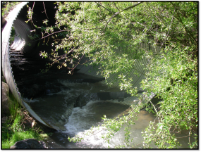
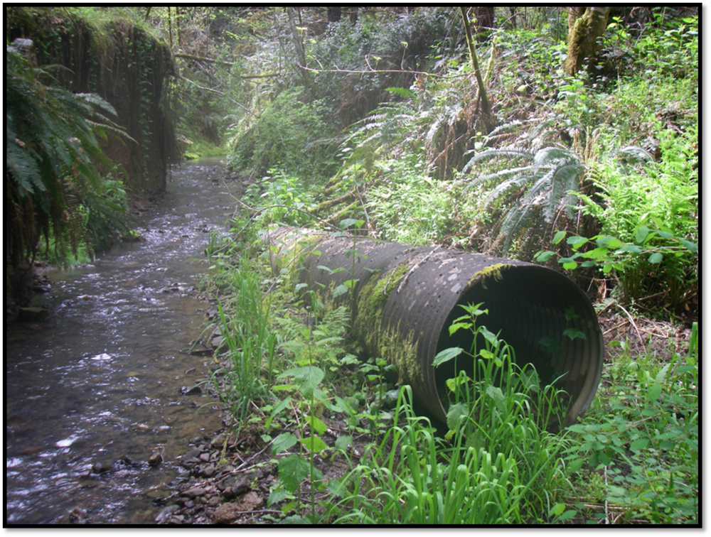
There is no known, current or past, basin-wide assessment for the Umpqua River Basin; specifically with reference to fish passage, barrier identification, prioritization and correction. The BLM, Douglas County, and USFS have conducted similar assessments on individual watersheds with reference to potential fish barriers. However, many other resource managers do not have detailed information about potential fish barriers and no one has brought all of the information together to be considered in a basin-wide approach. Since most work has been done in relatively small areas, there is currently no way to compare the value of each project, relative to other areas within the basin. Additionally, without a standardized method of evaluation, the importance of each barrier is difficult to compare.
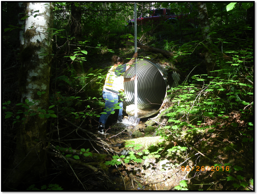
This project is a collaborative effort, managed by Partnership for the Umpqua Rivers, which covers the entire Umpqua River Basin. This area includes two soil and water conservation districts, three BLM districts, two nation forests, three watershed councils, and four counties. The Umpqua River Basin is a third field watershed which covers approximately 3,000,000 acres. The project will cover all participating organizations in order to standardize the information the information so that a comparison can be made. Field measurements will be taken to confirm compiled data and fill any voids in information. The overall intent of the project is to develop a comprehensive, basin specific, non-regulatory tool that is intended to be used by land managers to make better informed decisions concerning structure replacement and fish passage.